Coordinate Grids
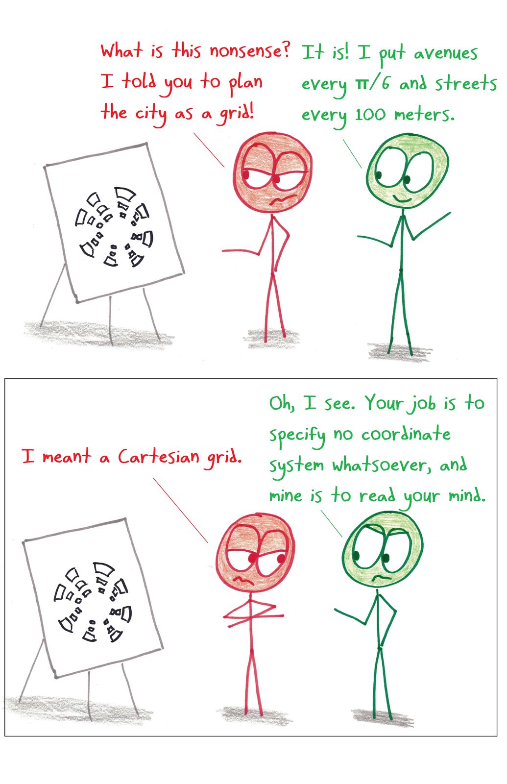
A city planner designs a city on a polar grid when the boss expected a rectangular one.
Use this cartoon
Free for classrooms, worksheets, slides and other non-commercial use under CC BY-NC 4.0, with credit to Ben Orlin.
Cartoon by Ben Orlin, Math with Bad Drawings. https://cartoons.mathwithbaddrawings.com/2018-03-19-coordinate-grids/ (CC BY-NC 4.0)Transcript
Boss: "What is this nonsense? I told you to plan the city as a grid!"
Planner: "It is! I put avenues every π/6 and streets every 100 meters."
Boss: "I meant a Cartesian grid."
Planner: "Oh, I see. Your job is to specify no coordinate system whatsoever, and mine is to read your mind."